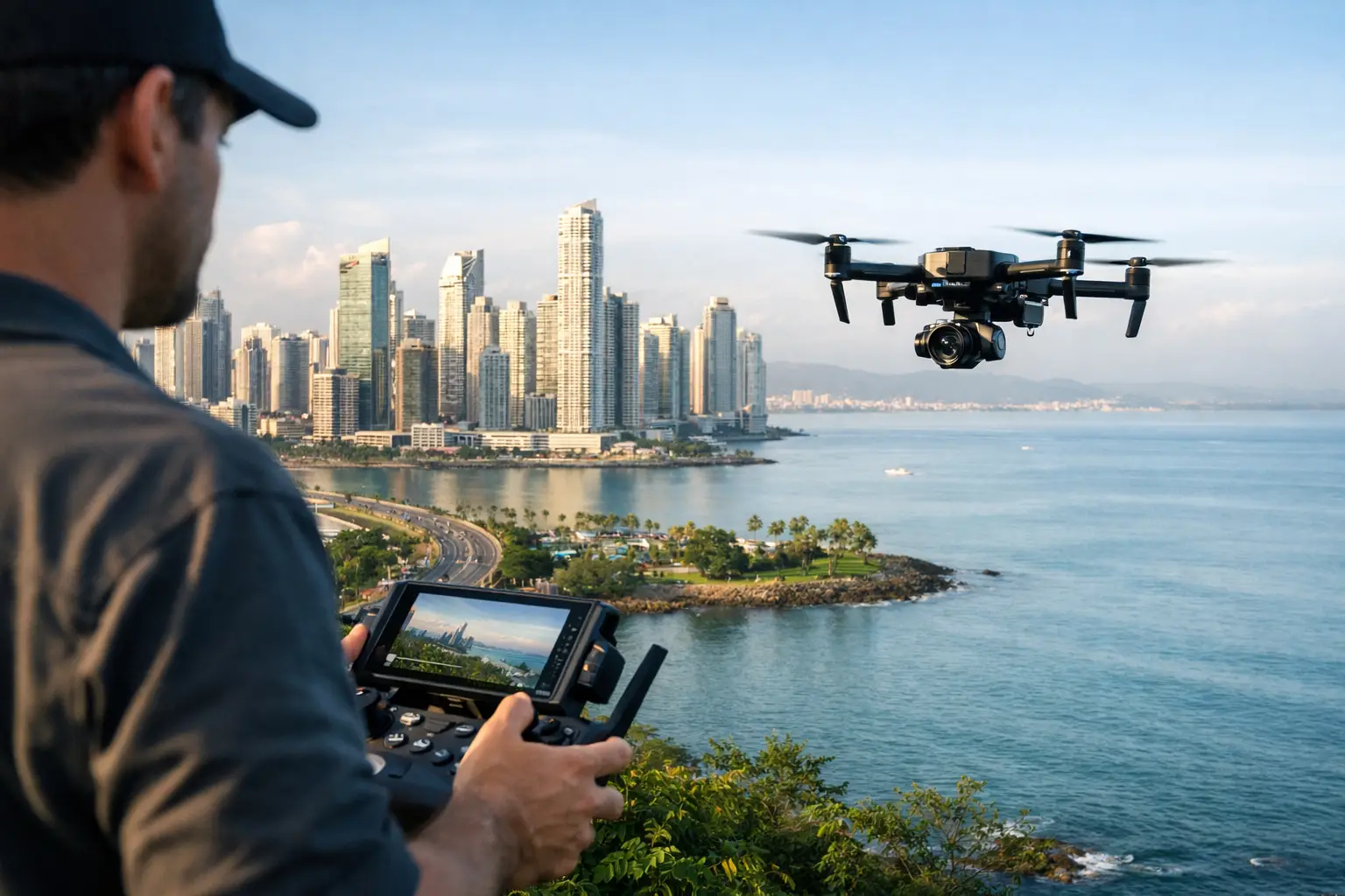
Aerial footage can establish Panama in seconds: the Canal, a jungle coastline, the skyline of Panama City, or an island chain with no road access. But Panama aerial filming regulations need to be addressed before the drone case is loaded onto the truck. For international productions, the issue is not simply whether a drone can fly. It is whether the aircraft, pilot, location, airspace, insurance, and shooting plan have been cleared for the specific operation.
Aerial work is one of the first departments that should be discussed during preproduction. A day lost to an unresolved aviation restriction can affect cast calls, marine transport, road control, weather cover, and the entire unit schedule. The right local process keeps the creative plan intact while giving production a clear operational path.
What Panama aerial filming regulations cover
In Panama, drone operations fall under the authority of the Autoridad Aeronáutica Civil (AAC), Panama’s civil aviation authority. Commercial aerial filming generally requires more preparation than recreational flying, particularly when the aircraft is being used on a professional set, flown in controlled or sensitive airspace, or operated near people, roads, public infrastructure, or populated areas.
The approval path depends on the operation. A compact drone collecting a wide establishing shot at a controlled private location is not evaluated the same way as a multi-day commercial shoot over a city district, a moving vehicle sequence, or work near an airport. Aerial filming from a helicopter or other manned aircraft is a separate aviation operation with its own aircraft, crew, and flight-planning requirements.
For a producer, the practical point is simple: do not treat an aerial unit as a standalone vendor arriving on the day. It must be integrated into the production plan from the start.
Approvals to confirm before aerial filming in Panama
The AAC is central to the aviation side of the process, but aviation permission is only one part of the clearance package. A film permit, property authorization, municipal coordination, park approval, or security review may also apply depending on the location and nature of the shoot.
Aviation authorization and pilot documentation
The drone operator should be able to provide current credentials and operating documentation appropriate to the proposed flight. Production should confirm the aircraft details, pilot qualifications, intended operating area, dates, flight purpose, and any required safety procedures before submitting the plan for review.
Do not assume that a pilot’s credentials from another country automatically satisfy local operating requirements. International crews may need to work through a locally compliant operator or follow an authorization process that takes time. The best route depends on the aircraft, the operator’s status, the scope of work, and the location.
Airspace, airports, and restricted areas
Panama City’s skyline can make a strong visual case, but it also requires careful airspace planning. Operations near airports, heliports, government facilities, security-sensitive sites, the Canal area, ports, or other controlled locations may face restrictions or require additional coordination. The same applies to flights that could affect public safety, shipping, traffic, or other aviation activity.
A location that looks remote on a recce can still sit within a restricted zone or near a local landing area. Confirming the exact coordinates is more useful than relying on a broad location name. Production should also avoid promising aerial shots to a client before local airspace and site feasibility have been checked.
Location and production permissions
Permission from a landowner does not replace aviation approval, and aviation approval does not replace location permission. A beachfront hotel, private estate, historic site, protected island, city street, or indigenous territory can each involve different stakeholders.
National parks and environmentally protected areas deserve particular attention. Wildlife concerns, visitor access, conservation rules, and local management conditions can limit where and when a drone can operate. For reality, documentary, and travel productions, these constraints often matter more than the flight itself because the desired shots are frequently in protected or high-traffic locations.
Build aerial work into the schedule early
The most efficient aerial days are planned during location scouting, not after the call sheet is issued. Ask the director and director of photography what the drone must achieve: an establishing pass, a top-down transition, a vehicle follow, a reveal, or a technical visual-effects plate. That clarity determines whether the flight can be handled as a standard operation or requires a more detailed risk and approval process.
Weather is equally important in Panama. Rain cells, coastal winds, heat, humidity, and changing light can all affect a drone day. The wet season does not make aerial filming impossible, but it does make contingency planning essential. Schedule the aerial unit with enough flexibility to move a shot window, and avoid placing a one-time helicopter, boat, talent, or road-control setup behind a flight that has no weather alternative.
Crew movement also needs practical attention. A drone team working on islands, in rainforest areas, or at remote beaches may need boats, four-wheel-drive vehicles, battery management, communications, shade, security, and a safe launch and landing area. These are production requirements, not afterthoughts.
On-set operating standards that protect the shoot
A compliant flight plan should translate into clear set discipline. The operator needs control of the launch area, a defined flight path, a safety perimeter, and direct communication with the assistant director or designated production contact. Background talent, crew, and members of the public should not be allowed to drift into the operating area simply because the camera is small.
Commercial productions should also confirm appropriate insurance coverage for the aircraft and the operation. Requirements may vary by authority, client, location owner, and risk profile, but production should understand the policy limits, exclusions, and documentation before the flight day. This is especially relevant for work around high-value locations, vehicles, watercraft, talent, or public spaces.
Night filming, flights over people, moving-car work, water operations, and complex proximity shots demand extra scrutiny. They may be creatively valuable, but they introduce operational and safety variables that a standard landscape flight does not. In many cases, the smarter production decision is to adjust the shot design, control the location more tightly, or use a combination of aerial and ground coverage.
Imported equipment, local operators, and the right crew model
Bringing a production drone into Panama can involve temporary import and customs planning in addition to aviation compliance. Serial numbers, declared values, batteries, carnets or temporary-entry paperwork where applicable, and transport procedures should be reviewed before travel. Battery transport deserves separate attention because airline and cargo rules may limit how lithium batteries are packed and carried.
For some productions, importing a preferred aerial package makes sense, particularly where camera matching or specialized payloads are essential. For others, using a local operator is faster, more cost-effective, and easier to coordinate with local requirements. The decision should be based on the shot list, camera package, schedule, available local equipment, and approval timeline, not habit.
A local production partner can assess those trade-offs before equipment is booked. 40 Grados Producciones coordinates permits, locations, logistics, and local crew support so aerial requirements are handled alongside the broader production plan rather than in isolation.
A practical clearance file for producers
Before flight day, keep the aerial documentation in one production file that can be shared with the unit manager, location manager, operator, client representative, and relevant authorities. The file should include approvals, site permissions, pilot and aircraft information, insurance evidence, a flight plan, emergency contacts, and the weather decision process.
It is also wise to document who has authority to stop the flight. The answer should be clear if wind rises, rain moves in, an unauthorized person enters the safety area, air traffic concerns arise, or the agreed location conditions change. A stopped flight is inconvenient. An unmanaged one can put the production, the client, and future access at risk.
Panama offers aerial images that are difficult to duplicate elsewhere, often within a compact production footprint. The strongest aerial days come from treating compliance as part of creative planning: verify the location, define the shot, clear the operation, and give the crew enough time to execute it safely.